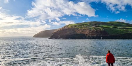
Storm Helene will be making her presence known when she makes landfall tomorrow night, but the next storm is an even “bigger concern”, according to one weather expert.
The south-east of the country will be hit the hardest, but Storm Helene will move through the country quickly with heavy rain and strong winds expected nationwide over the next week.

While the Met Office has issued a warning for Storm Helene, Met Éireann has yet to do so saying that it is keeping an eye on the situation and will issue one if needed.
However, the national forecaster did issue a briefing on the storm.
Met Éireann says it is expected, “to bring high intensity rainfall over a short timeframe.”
“Winds associated with the storm are currently expected to be strongest at sea and along the south and southeast coasts, with winds overland expected to be moderate to fresh, easterly in direction at first, then becoming cyclonic variable as the eye of the storm passes over.
“The exact track of the storm will determine where the strongest winds will fall and there will be regular updates as this unfolds, currently there is a strong signal that the strong winds will affect Waterford and the counties of south Leinster. Temperatures overnight will be 12 or 13C at the lowest.”
Forecaster Alan O’Reilly of Carlow Weather believes that Storm Ali, hot on the heels of Storm Helene is a “bigger concern” with up to 130kmh gusts and heavy rainfall.
A potentially bigger concern is showing for Wednesday with what could be #StormAli as strong gusts arrive in the West along with more very heavy rain. pic.twitter.com/PYu7DMXZ7f
— Carlow Weather (@CarlowWeather) September 16, 2018
This is not the autumnal weather we were hoping for…
READ NEXT: Sinn Féin To Unveil Its Candidate In The Presidential Election Later Today
Topics:
RELATED ARTICLES


MORE FROM Lovin


MORE FROM Lovin