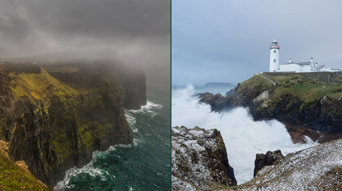
Met Éireann has confirmed that ‘Storm Helene’ “will approach Ireland” as early as next week.
They warned yesterday that “very disturbed weather” was on its way to Ireland as the hurricane headed across the atlantic.
But now they have confirmed that they are expecting the ex-tropical storm to heavily influence Ireland’s weather early next week.
“Current indications are that (ex-)tropical storm Helene will approach Ireland’s south coast Monday night or Tuesday.”
“It is likely to bring wet and windy weather, but at the moment there are no strong indications that it will bring any severe or damaging weather,” they said on their website.
For the weekend, Friday will be “breezy, with showery rain for a time in the morning, heavy in places, but less showery away from northern coasts this afternoon and evening.
Top temperatures of 14 to 18 C. Fresh winds at first, but these will ease later.
Saturday will start mainly dry, with just isolated showers. Some bright spells in parts of east Munster and Leinster, with a little hazy sunshine, but cloudy generally.
Persistent rain developing along the Atlantic Seaboard later in the morning will extend through Connacht and Ulster in the afternoon and evening. But largely dry elsewhere. Becoming windy, with strong and gusty southerly winds developing. Top temperatures of 14 to 18 C.
On Sunday, the rain will clear southeastwards on Sunday morning, winds will ease and brighter weather with scattered showers will follow.
In the southeast, the rain may linger until late afternoon though. Afternoon temperatures will range from 15 to 20 degrees, warmest in the south. Sunday night will be mainly dry with light breezes.
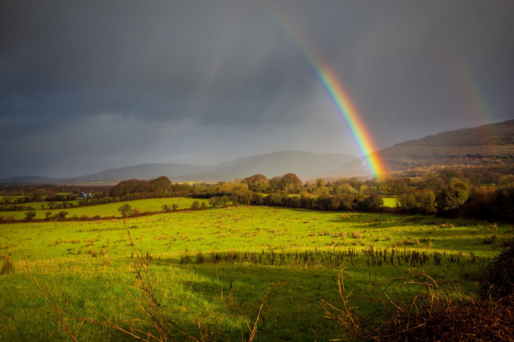
Main image via: Carlow Weather.
READ NEXT: Tell Your Work Colleagues – Today Is ‘National Leave Work At 4pm’ Day
Topics:
RELATED ARTICLES


MORE FROM Lovin


MORE FROM Lovin