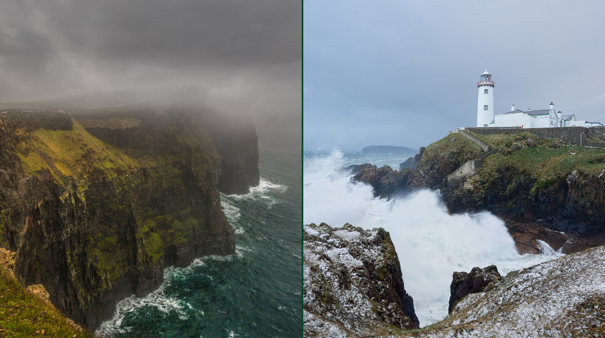
It was announced by Met Éireann on Friday morning that ‘Storm Helene’ will approach Ireland next week.
Met Éireann have now issued a briefing regarding Storm Helene which was issued at midday on Friday.
They said on their website that:
“At this time of year the Atlantic hurricane season is in full swing. The official season lasts from 1 June to 30 November with the peak of the season from around mid-August through to late October.
“This year’s season had been relatively quiet in the Atlantic Basin up to recently, but there has been an increase in activity in the last while, with a number of tropical disturbances live at present.
“The National Hurricane Center has responsibility for issuing advisories on these tropical disturbances in the Atlantic Basin as per the World Meteorological Organisation guidelines.
Current advisories in force from the National Hurricane Center include:
- Hurricane Florence on the North Carolina coast which is forecasted to continue to move slowly inland over the continental United States.
- Tropical Storm Helene located over the tropical eastern Atlantic Ocean.
- Tropical Depression Isaac which will continue to move westwards in Caribbean Sea whilst weakening.
- Tropical Storm Joyce which is expected to dissipate in the coming days over the south-central Atlantic.
Tropical Storm Helene
“Tropical Storm Helene is the system which is pertinent to us here in Ireland because current guidance indicates that Helene will take a northeastward track towards our shores early next week.
“Tropical Storm Helene is already transitioning to an extra-tropical cyclone southwest of the Azores Islands. This means that Helene will lose it’s tropical characteristics including it’s warm core, organised deep convection and closed surface wind circulation and become more akin to the low pressure systems we are used to seeing in our part of the world.
“It will develop fronts, the strongest winds will shift around to the east and south of the low pressure system with the heaviest rain on the western side of the low pressure centre.
“The current forecast is that ‘Storm Helene’ or ‘ex-Tropical Storm Helene’ will be to the south of Ireland on Monday night. Current guidance has the low pressure system moving northeastwards up through the Irish Sea overnight Monday and early on Tuesday, although the exact path is still uncertain.
“A humid spell of wet and windy weather is expected to sweep up over Ireland on Monday night and early Tuesday as a result. Current guidance suggests the potential for warning level winds and perhaps rain with the system.
“There remains some uncertainty in the track of the system. Met Éireann forecasters will continue to monitor the situation and issue warnings, as required, closer to the time.”
READ NEXT: Huge Fight Breaks Out Live On Air On RTÉ Radio Programme On Friday Morning As Listeners Left Stunned
Topics:
RELATED ARTICLES


MORE FROM Lovin




MORE FROM Lovin


